Quick answer
An address outside a mapped FEMA high-risk area is not automatically free of flood risk. Fort Worth identifies non-FEMA flood-risk areas, while Dallas offers floodplain and drainage resources. Use the appropriate city’s tools for your address and keep current warnings separate from long-term maps.
Why Fort Worth publishes non-FEMA information
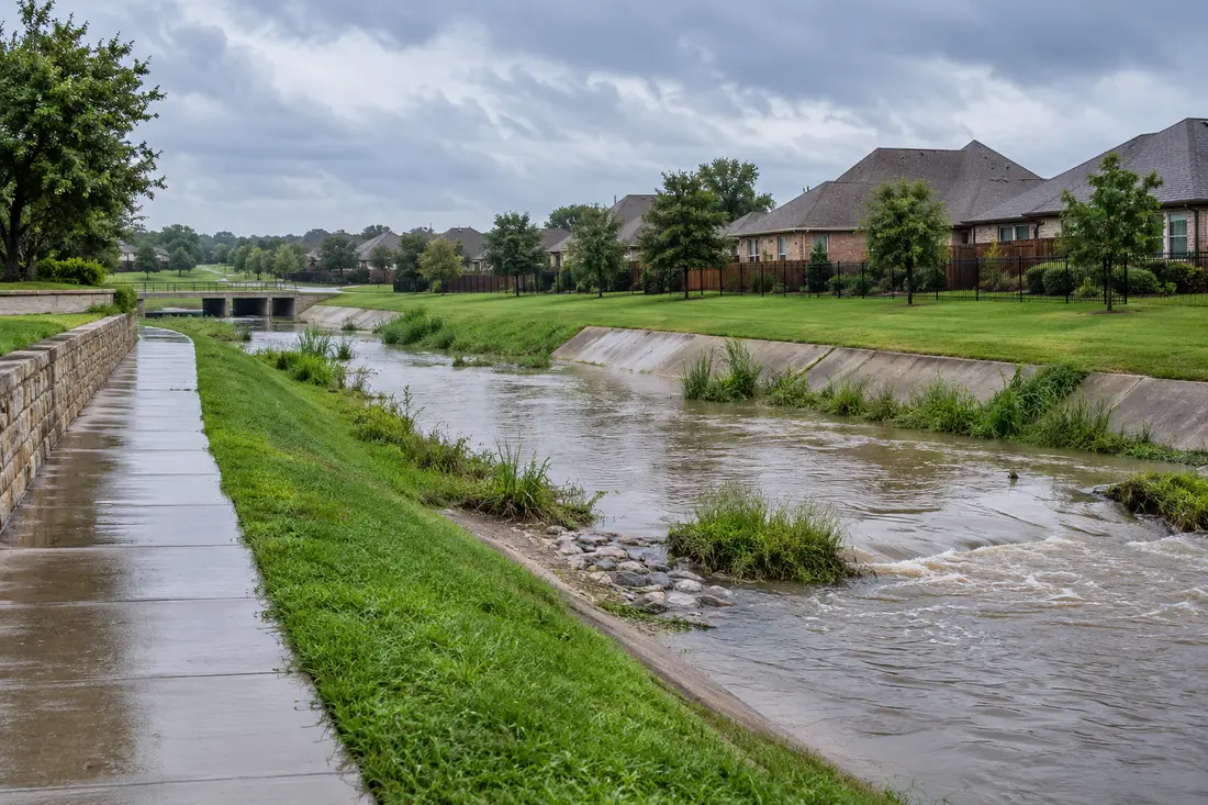
Fort Worth’s Stormwater Management page explains that much of its reported flooding occurs outside the FEMA floodplain. The city distinguishes locally studied City Flood Risk Areas from other non-FEMA risk information. Its 2026 floodplain-plan update also addresses drainage-related risk. This is a reason to examine local information, not evidence that a particular house will flood.
Sources: [1]
Where a Dallas resident can start
Dallas Water Utilities describes a floodplain-management program and provides routes to mapping tools and its floodplain team. It also identifies the city’s flood-warning and gauging resources. Use those Dallas resources for a Dallas property; do not apply a Fort Worth map label as though it were a designation for another city.
Sources: [2]
Build a small address-level research record
Our suggested workflow is to save the address, map layer name and access date together. If you save a screenshot, include the legend and relevant notes. Record questions you cannot answer from the map instead of converting an uncertain display into a yes-or-no conclusion. Ask the city’s floodplain or stormwater staff which source is appropriate when two displays appear to differ.
- Start with FEMA’s address-search tool and note the mapped layer.
- Check the relevant city’s floodplain or stormwater resources.
- Record whether the display is federal, locally studied or another informational layer.
- Ask the city about drainage or mapped information you do not understand.
- Keep property-specific professional advice separate from a general map screenshot.
A risk map is not a current flood warning
For current conditions, follow National Weather Service and local emergency information. NWS advises avoiding flooded roads and waiting for authorities before returning to an affected area. A route or property that looks outside a mapped zone should not be treated as safe during an active warning.
Sources: [3]
Questions to carry into a restoration conversation
If water has already entered the building, describe the actual event rather than only its zone. Ask who will investigate the source and whether the proposed work includes any drainage or source-correction assessment. Keep that responsibility explicit: cleaning an affected room and explaining an outdoor drainage problem may involve different professionals.
What this research can and cannot establish
This guide gives you official starting points. It does not calculate the flood probability at your address, replace an engineer’s assessment or determine policy coverage. For Arlington, Plano, Irving or Garland, use that municipality’s current information rather than extrapolating from the two city examples here. Ask your insurer separately about coverage questions.
Questions you may have
Is a property outside a FEMA floodplain guaranteed not to flood?
No. Fort Worth’s local information specifically addresses risks beyond the FEMA floodplain. Investigate your address using the appropriate official tools.
Can I use Fort Worth’s map for a Dallas property?
Use the relevant municipality’s resources. A local classification from one city should not be applied to an address in another.
Sources & further reading
Official resources used to prepare this page. Their inclusion does not imply affiliation or endorsement.
Ready for a more informed conversation?
Use our checklist, understand the scope and confirm availability directly.
See connection options ↗